Marbella · landmark
Cascada de Camoján
A small waterfall and hiking spot in the foothills of Sierra Blanca, at the northern edge of Marbella, inside the gated Cascada de Camoján estate the same name is attached to.
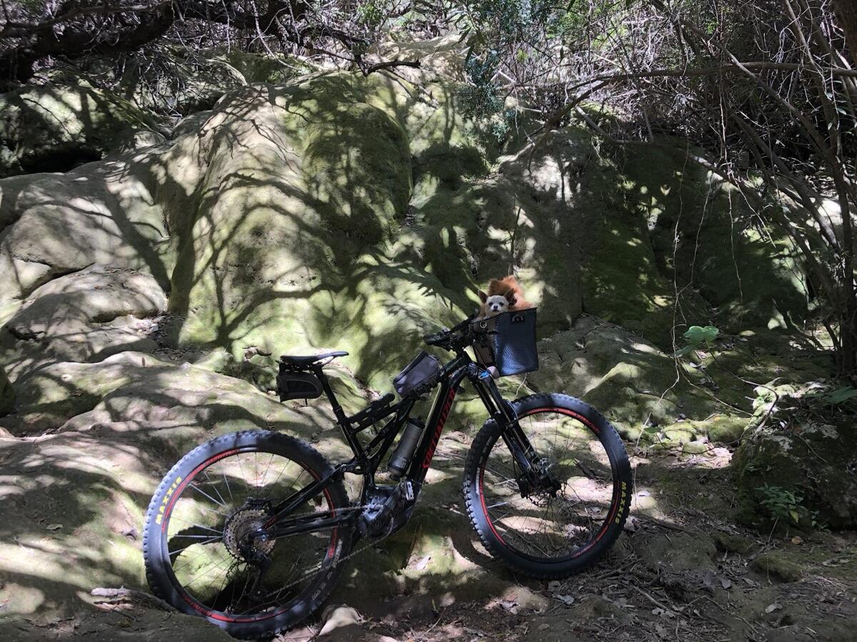
Photograph: Adolfo Mendez, via Google Maps.
Address
Lugar, Urb. Cascada de Camojan, 5D, 29602 Marbella, Málaga, Spain
What Google lists it as
Google lists it as a hiking area, with 92 user reviews averaging 4.1/5 (checked 25 August 2026).
It sits inside the gated residential estate Cascada de Camoján, on the northern edge of Marbella.
Is there a public trail to it?
Not to the water itself. The waterfall sits inside the gated estate, and none of the Ayuntamiento's marked routes across this face of Sierra Blanca ends there. The nearest is PR-A 428, Nagüeles to Los Monjes: a 6.3 km one-way route, rated medium-low difficulty, that starts at the trailhead panel in Pinar de Nagüeles and climbs past the old Mina de Buenavista lead workings before crossing the Puerto de los Pilones and Puerto de los Mochileros passes. At the Cañada de la Rana junction beyond them, a signed branch turns south to the Urbanización Cascada de Camoján rather than continuing over the Puerto de Camoján pass, a lookout the Ayuntamiento's own map credits with views over most of the coast, toward the ruined Ermita de los Monjes and, further on, Los Monjes and Ojén. The same junction and branch are named on the Marbella-Ojén stage of the GR-249 Gran Senda de Málaga, a longer-distance route that crosses the same ground on its way between the two towns. Sierra Blanca itself carries EU protection as a Lugar de Interés Comunitario, code ES6170011, part of the Natura 2000 network. None of the Ayuntamiento's route notes puts a public path at the waterfall's own coordinates, checked 5 September 2026.
- PR-A 428 (Nagüeles-Los Monjes)
- 6.3 km one way, medium-low difficulty
- Branch at Cañada de la Rana
- Signed turn south to Urb. Cascada de Camoján, on the GR-249 Marbella-Ojén stage
- Protected status
- Sierra Blanca: Lugar de Interés Comunitario ES6170011, Natura 2000
Sources
- Google Maps listing:maps.google.com/place/?q=place_id:ChIJo2wfx7DXcg0R0ZH04mz4C_g(address, coordinates, category, rating and review count read from the Places API on 2026-08-25).
- Photograph: Google Maps user Adolfo Mendez, delivered via the Google Places Photo API.
- Trail distances and difficulty: Ayuntamiento de Marbella, "Sierra Blanca, descúbrela" trail map,marbella.es senderos map (PDF), checked 5 September 2026.